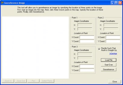
No specific info about version 1.0. Please visit the main page of Georeferencing Tool on Software Informer.
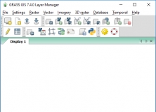
Contains over 350 modules to render maps and images on monitor and paper.
ArtiosCAD is the a structural design software for packaging design.
It is a program that reads EOZ and EDZ files exported from EON Raptor.
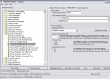
Soil Data Viewer allows a user to create soil-based thematic maps.
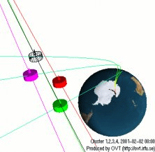
Software for visualization of satellite orbits


Comments